Pages

"And this is my prayer, that your love may overflow more and more with knowledge and full insight to help you determine what is best, so that in the day of Christ you may be pure and blameless, having produced the harvest of righteousness that comes through Jesus Christ for the glory and praise of God." -- Philippians 1:9-11

Wednesday, August 12, 2015

Did we really do all this in one day?

Day 7

The morning began in Geysir, where you can find… a geysir.  Turns out that this particular geysir is what all the other geysirs in the world are named after.  It’s the original geysir!  Unfortunately, the actual geysir erupted regularly about 80m in the air (much taller than Old Faithful in Yellowstone) until the 1950s when tourists threw rocks in it and it became clogged.  Lame.  Now it doesn’t erupt very often, and when it does it only goes a few feet in the air.  There is another geysir, Stokkur, right next to Geysir and it erupts ever six minutes or so.  And let me tell you that one puts on a show!  Unlike Old Faithful, you an stand really close to Stokkur (I’m not sure this is a good thing….)  When it goes off, a huge bubble of steam pushes the top layer of water out and up.  At first, I thought it was going to explode sideways at me so I ran back a few feet as it redirected course and shot upwards.  So cool!

Emily pretending to be the Geysir

What is left of the original Geysir

After the visit to Geysir, Aidan and I drove to Gulfoss, Iceland’s most famous waterfall.  It was slated to become a hydroelectric plant in the 1920s when they dammed the Hvita river, but Sigridur Tomasdottir went to Reykjavik to protest.  She is regarded as Iceland’s first environmentalist, and is widely respected for her actions to save Gulfoss.  We are thankful that she did because the waterfall is magnificent!

In front of the Gulfoss waterfall

It drops 32m down into the ravine

Aidan was cold

From Gulfoss we continued to ϸingviller, a historical national park.  This is the site of the world’s first democratic government, created by the Vikins in 930 AD.  The site itself is located in the rift valley between the North American and Eurasian tectonic plates, which creates some dramatic scenery over land that is moving about 13mm every year.  ϸingviller was chosen for it’s relatively central locality in Iceland, so that representatives from all areas of the country could reach it.  It remained the central point of government in Iceland until 1843, when the members of parliament voted to move the meeting place to Reykjavik.

A river running through the rift valley


North America on my right, Europe on my left!

Aidan and the Icelandic flag

There were sundials all over Iceland!  I suppose they would
work well if it is summer.

ϸingvallavatn, Iceland’s largest lake

From ϸingviller, we drove over a mountain road to head northwest in the country. Our goal was to drive up to the Snaefellsnes Peninsula, and explore some cool sites along the way.  We were looking for some lava tubes near Husafell, which though out of the way, sounded really fun to explore!  We drove over a mountain pass and made our first stop in Reykholt, home of Snorri Sturluson, a famous medieval historian.

Through the mountains

Sheep everywhere!


A beautiful church in Reykholt


Snorralaug (Snorri's Pool), where the historian Snorri came to bathe

We continued the drive to Husafell in search of the lava tubes, but a snowdrift over one of the mountain roads unfortunately blocked our way.  Late in the evening, we turned the car around and drove back the way we had come and then up to the very edge of the Snaefellsnes Peninsula, where we could camp for the night and then explore the next day.

More mountain roads


Made it to the ocean!

The wilderness camping site

Thursday, July 9, 2015

ICE CLIMBING!!!

Day 6

Woooooo!!!! This day was awesome!!!  It began early in Vik; we packed up the car and immediately went to the gas station to buy an extra container of fuel for the camp stove.  We also picked up a couple pastries, some coffee, and walked around town and down to the ocean.  We stopped in an Icelandic clothing store and ran into a group of people that had graduated from Northeastern with Aidan!  What a small world.

Sea cliffs by the ocean

After a bit of exploring, we drove to the glacier Solheimajokull for an ICE CLIMBING ADVENTURE!!!  We met our guide in the parking lot, stepped into our harnesses and crampons, slapped on a helmet, grabbed an ice ax and we were off to the glacier!

All ready to go!


Our guide, ϸorsteinn, ϸor for short (pronounced “Thor”), 
explaining how not to fall into a crevasse.

All the dirt is ash from the last eruption of Katla in 2011
(not kidding -- a glacier on a volcano!)

Lookin' like a pro!

Our group

The crampons on our feet were probably the most dangerous part of the glacier expedition, as the dude behind me can attest.  Shortly after the picture above was taken he tripped over his ice ax and sliced his rain pants open with the spikes on his feet.  Thankfully he didn’t cut his leg, and was fine all things considered.  While the guide was helping him out, I used my ice ax to chip a seat into the glacial ice and relax.


The guides setting up the anchor for the safety rope (top right).
We 1) climbed down into that hole in the background and
2) climbed out of it.


Ready to climb!


Fun on the glacier

Starting to climb

Spider woman (not the greatest form)

I had "Elvis legs."  They started shaking
because I forgot to breathe.

At the top of the wall, beginning to repel
back down

Aidan's turn!

Impeccable form.

At the top!

And the repel

After we all got a chance to climb, we began our descent off the glacier.  While walking down I asked our guide about a hundred questions about Iceland and glaciers and the like.  Turns out they don’t have any parasites in Iceland, so you don’t have to worry about drinking water from any of the rivers!  Unless there is a dead sheep in the stream above you, then you might have a problem.  Since we were on a glacier, we figured there probably wouldn’t be any sheep higher up, so ϸor found a nice little glacial stream and invited us all to take a sip. 

To demonstrate, he got down on all fours and did a push-up over the stream, sipping the water before standing back up again.  The rest of the group proceeded to take a drink, with all the men doing push-ups and all the women just kneeling.  Well, myself, a strong proponent of “I am woman, hear me roar!” decided I could match all the men and also do a drinking push-up.  I got into position… lowered myself for the drink… and PLOP!  My arms gave out and I ended up face down in a stream on a glacier.  Embarrassed, I quickly got back into push-up position.  I could not let that be the final say!  So naturally I had to try again and prove I could do a push-up and drink from the stream.  Unfortunately Round 2 did not yield more favorable results…  This time I once again landed face first in the stream, only could not even find the strength to push myself back up and PROCEDED TO ROLL OUT OF THE STREAM.  I am not even kidding.  Thoroughly embarrassed, and still thirsty, I stood up and retreated back to my spot in line, vowing to do 100 push-ups a day for as many days as it took for this never to happen again. (I’m going to go with ‘my arms were fatigued from the ice climbing’ excuse for this one, but also start doing push-ups every day just in case).  And NO there are no pictures from this event. :)


This glacier (Solheimajokull) is on Katla, one of the largest volcanoes in Iceland.  This is a very active volcano, with major eruptions occurring every 13 to 95 years since 930 AD.  The last major eruption was in 1918… 97 years ago… you see where I’m going with this.  Katla is due to erupt at any time.  Last year, ϸor told us that they evacuated the area three times because they thought that an eruption was imminent.  On two of those occasions the sulfur dioxide emitted by the volcano was so potent that it would cause permanent eye and lung damage within 15 minutes of exposure.  In June 2011 a small eruption occurred, bringing the ash you see covering the glacier.  Geologists continue to monitor the area for volcanic activity, and anticipate a major eruption in the near future.


Trouble Brews


Day 5


The day began like any other, then quickly took a turn for the worse when plans for breakfast and coffee were delayed…  Truthfully, if this is the least of our worries, we are doing great :)  Anyway, we packed up the car and the tent and drove on out of Skaftafell, continuing the journey east.  It began raining (as usual) on the drive out, and soon a rainbow appeared in the sky.  At about this moment the most picturesque scene imaginable appeared, the full arc of a vibrant rainbow perfectly spanning a glacier… picture it… imagine it… because no I did not stop for a picture. 

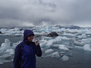
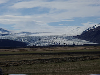
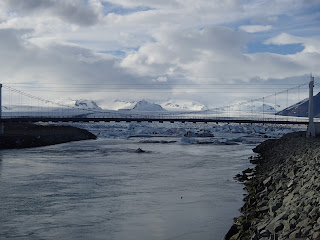
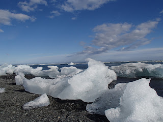
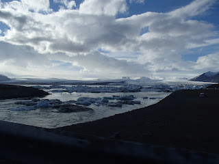
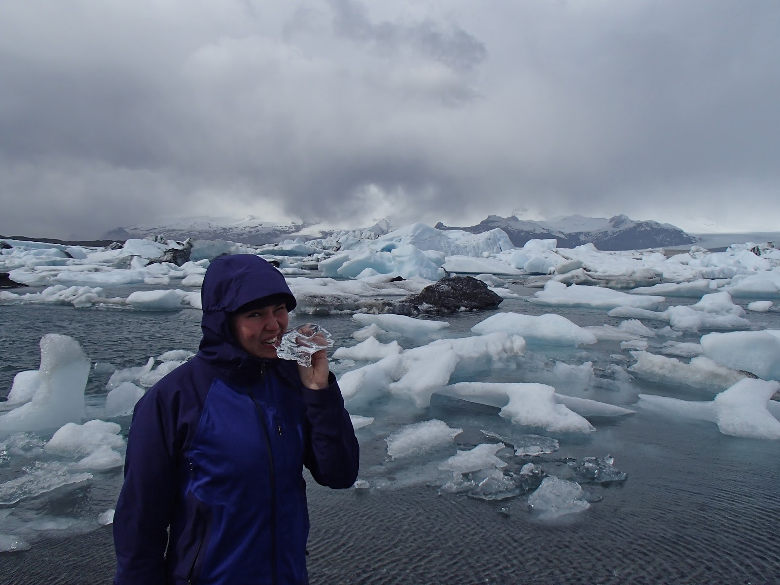
The first stop was Jokulsarlon, a glacial lagoon at the foot of the Breidamerkurjokull glacier, an offshoot from the Vatnajokull glacier.  This is actually where they filmed Die Another Day.  They froze the lagoon (don’t ask me how, or why they didn’t just wait until winter or visit Greenland instead) and blew up six Aston Martins, or so my guidebook tells me.  Anyway, we didn’t blow anything up.  Just walked around, took some pictures, spotted a harbor seal, and found a measly cup of coffee.
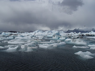
Jokulsarlon

They have ice.  I eat ice.

ice ice baby

We had hoped to make breakfast at this stop, but the wind whipping through would have made cooking anything rather difficult…  So instead we split a cliff bar and continued on the drive with a still semi-grumpy Emily.
On the drive towards Hofn

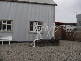
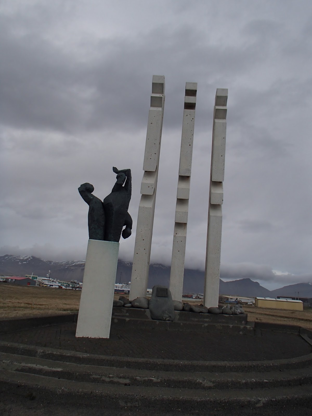
An interesting statue.
The plaque next to it was written in Icelandic
so I have no idea what it says

About 2 hours later we arrived in Hofn (pronounced like an unexpected hiccup – say ‘hup’ while inhaling) <-- font=""> no joke.  And found a place for lunch!  We had lobster pizza, and no I did not take a picture of that either, but I can attest that it was delicious!
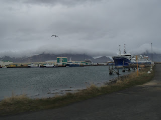
Hofn means "harbor" in Icelandic.
There were hundreds of Arctic Turns!

A cool statue

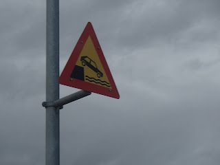
The best sign of all time.

Hofn was the farthest East that we made it, from there we turned the car around and back tracked along Ring Road (Highway 1) to one of the southernmost towns, Vik, where we camped for the night.  Along the way back we stopped at a farm to get ice cream, saw more glaciers, and checked out the ocean side of Jokulsarlon.
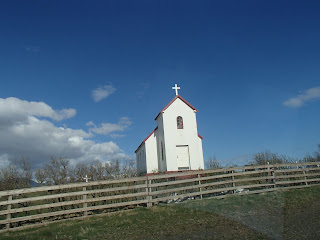
A church near our ice cream stop

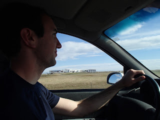
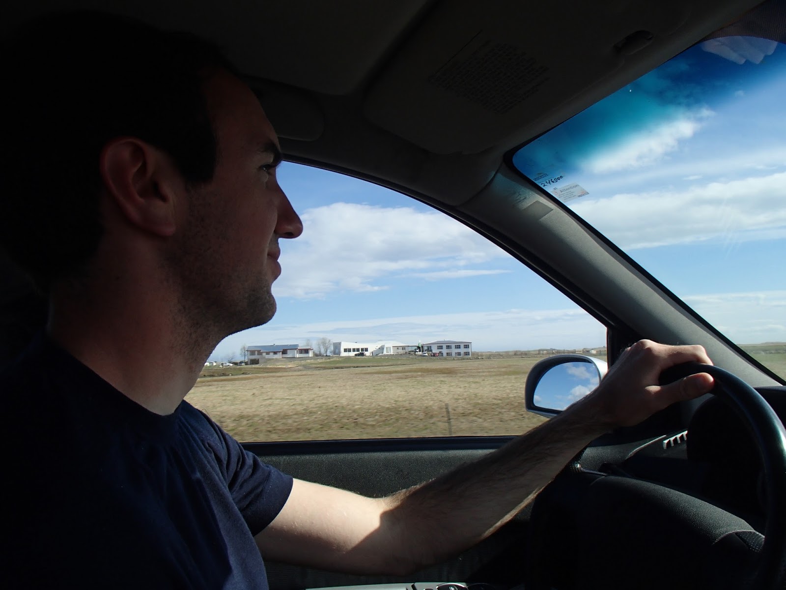
Aidan took a turn behind the wheel

Glaciers glaciers everywhere!

Standing by the ocean, looking up the river into Jokulsarlon

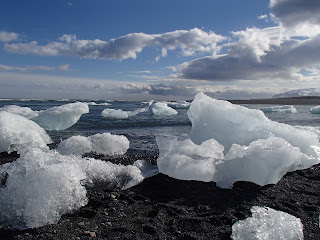
The ice found it's way to the ocean

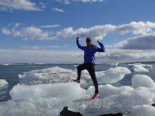
Emily found her way to the ice :)


Ice on the beach

Jokulsarlon

Continuing westward, we passed the interesting spectacle below.  Apparently it was once thought good luck to place a stone here, I don’t remember why.  But now there is a whole pile and I took a picture of it.
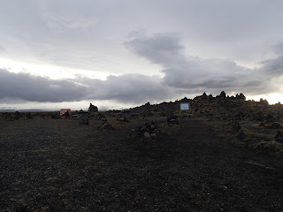

We pulled into the campsite at Vik pretty late in the evening.  The rain stopped for about 6 minutes, long enough to quickly put up the tent and get the stove lit to start the pasta we would be having for dinner.  About as soon as the water started boiling the stove started having issues, and I assumed we were running low on fuel.  Unfortunately we didn’t have a back up canister because we were traveling near places we would be able to purchase more, assuming we needed it at a reasonable hour.  Worried, I took the pasta off the stove, hoping it would still cook while the water cooled, and put on the sauce and meatballs to heat up with what remaining fuel we had.  If you haven’t figured this out already, words in Icelandic are about impossible to decipher, and so neither Aidan nor I knew that we had bought teriyaki meatballs to add to the tomato sauce…  Dinner was… edible.  Barely.

The end.